


- উদ্যোক্তা প্রোফাইল
-
About Union
ভৌগলিক ও অর্থনৈতিক
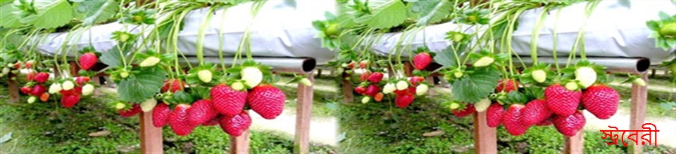
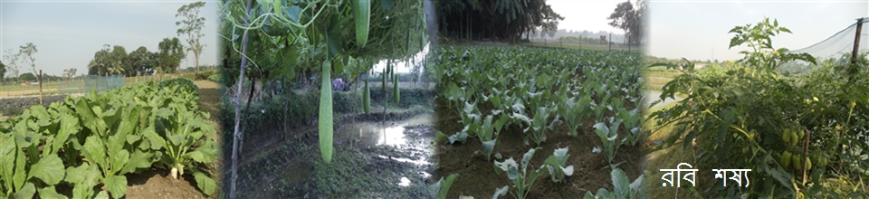
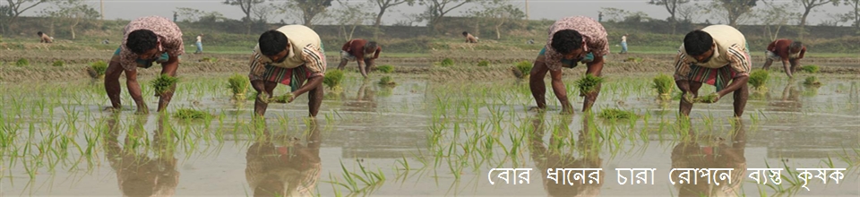
Miscellaneous
-
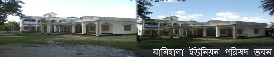
Union Parishad
Union Council
ইউনিয়ন পরিষদ কার্যক্রম
Village Adalat
গুরুত্বপূর্ন তথ্য
-
Govt. Office
ভূমি
স্বাস্থ্য সেবা
-
Other Institutions
শিক্ষা প্রতিষ্ঠানের তালিকা
ধর্মীয় প্রতিষ্ঠান
-
Diffferent Lists
List of Beneficiaries
Other Listings
- Projects
- Services
-
Gallary
Video Gallery
-
উদ্যোক্তা প্রোফাইল
Entrepreneur Profile
-
About Union
ভৌগলিক ও অর্থনৈতিক
Miscellaneous
-
Union Parishad
Union Council
ইউনিয়ন পরিষদ কার্যক্রম
Village Adalat
গুরুত্বপূর্ন তথ্য
-
Govt. Office
ভূমি
স্বাস্থ্য সেবা
-
Other Institutions
শিক্ষা প্রতিষ্ঠানের তালিকা
ধর্মীয় প্রতিষ্ঠান
-
Diffferent Lists
List of Beneficiaries
Other Listings
- Projects
-
Services
ইউডিসি
National E-services
-
Gallary
Photo Gallery
Video Gallery
|
Sl. No |
Subject |
Description
|
|
01 |
Aria |
26.94 sq. Km |
|
02 |
Geographical boundaries |
Rupshi Union to the north, Tarakanda Union to the south, Galagao Union to the east and Kakni Union to the west. |
|
03 |
Distance from Upazila Sadar |
4 k.m |
|
04 |
VILLAGE |
19 |
|
05 |
MOUZA |
15 |
|
06 |
Number of people |
309629 (Source: Bangladesh Bureau of Statistics-2015) |
|
07 |
Able couple |
5,439 (Source-Department of Family Planning-2015) |
|
08 |
Number of voters |
Female-9948, Male- 10,505 Total= 20453 |
|
09 |
Educational Institutions |
01 college, 03 secondary schools, 02 lower secondary schools, 14 government primary schools, 08 madrasas. |
|
10 |
The amount of land |
Total= |
|
11 |
Post Office |
Majiali |
|
12 |
Community Clinic |
3 |
|
13 |
Vomi Office |
1 |
|
14 |
Mosque |
44 |
|
15 |
Mandir |
3 |
|
16 |
Bazar |
3 |
|
17 |
Sanitation facilities |
90% |
|
18 |
Education Percentage |
37% (Source: Bureau of Statistics in Bangladesh-2015) |
|
19 |
Total Road |
Ripe - 6 km, raw - 50 km |
|
20 |
Beneficiary women |
180 VGD card holders, 45 Maternity Beneficiaries (2020-21 Fiscal Year) |
|
21 |
Beneficiary Vata |
Old age allowance 1500 people, widow allowance 700 people, disability allowance 200 people, freedom fighter allowance - 11 people. |
|
22 |
Occupational Population - |
|
|
23 |
Amount of annual UP tax- |
|
|
24 |
Annual Land Development Tax - |
|
|
25 |
Places of interest |
Auliya Mazar Sharif of Baripara Shah Shams, Lautia Shiva Temple |
|
26 |
Housing project |
Number of rooms 40 rooms. |
|
|
||


Planning and Implementation: Cabinet Division, A2I, BCC, DoICT and BASIS
Technical Assistance:
![]()
Developed By: